
Everything you need,
just a click away
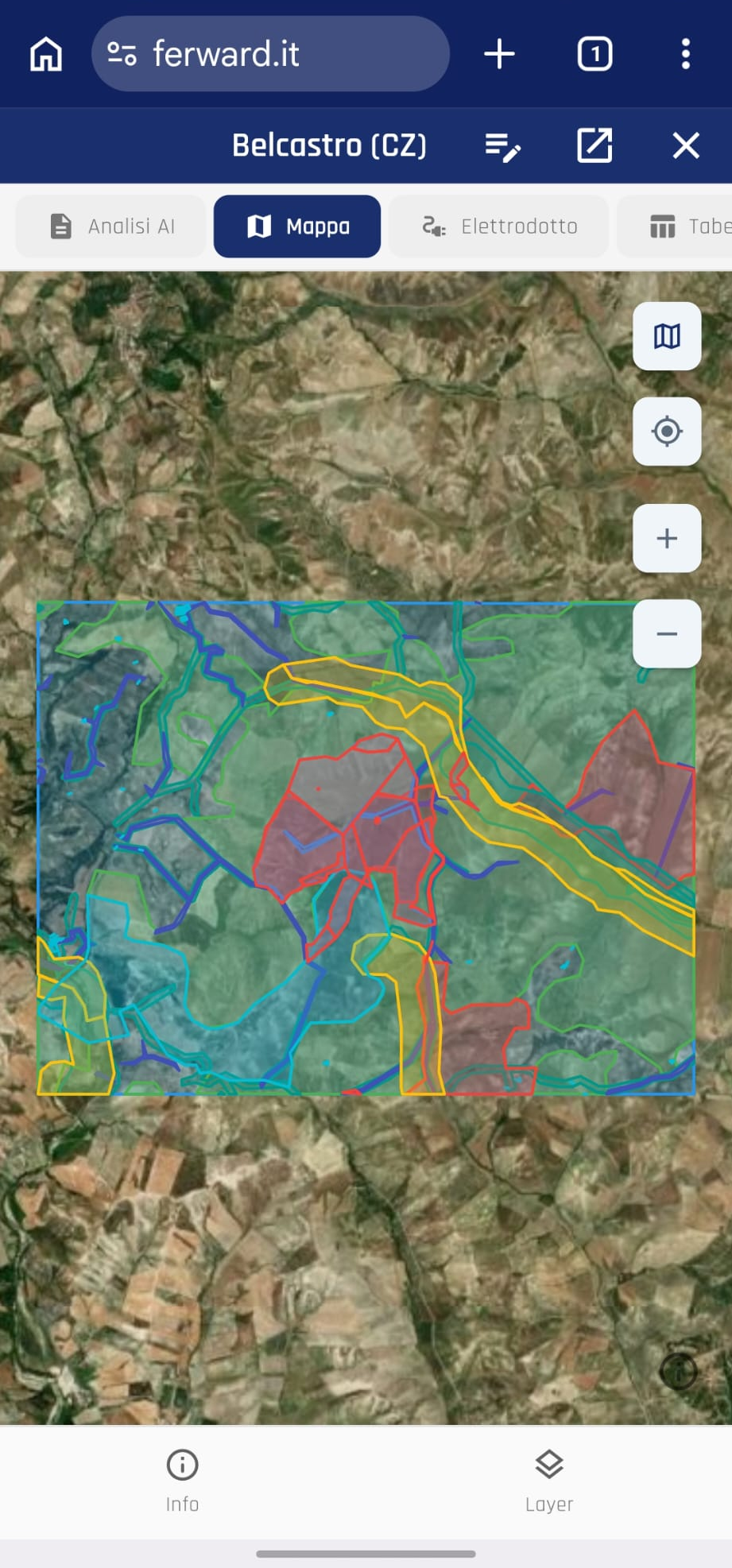
Spot every challenge on the land you've identified in advance, with automated AI analysis. Designed to accelerate every phase of renewable energy development.
From hours of work to a few minutes
Ferward makes solar plant development in Italy accessible to everyone. From land scouting to constraint and grid-connection analysis. A tool within reach of every player in the supply chain, with consultable summaries, ready-to-use design files and automated reporting.
A complete overview of every project
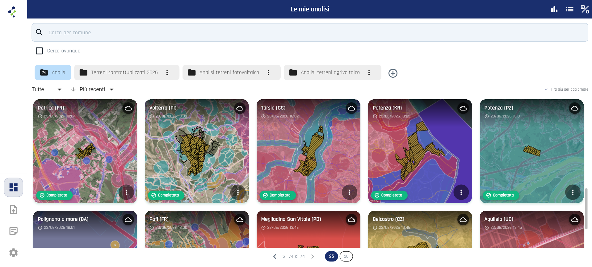
Everything you need, in one environment. Unified pipelines, always-available databases and preliminary reports that give you a complete overview of the territory. Move from study to design: simply download the GeoJSON files from your dashboard.
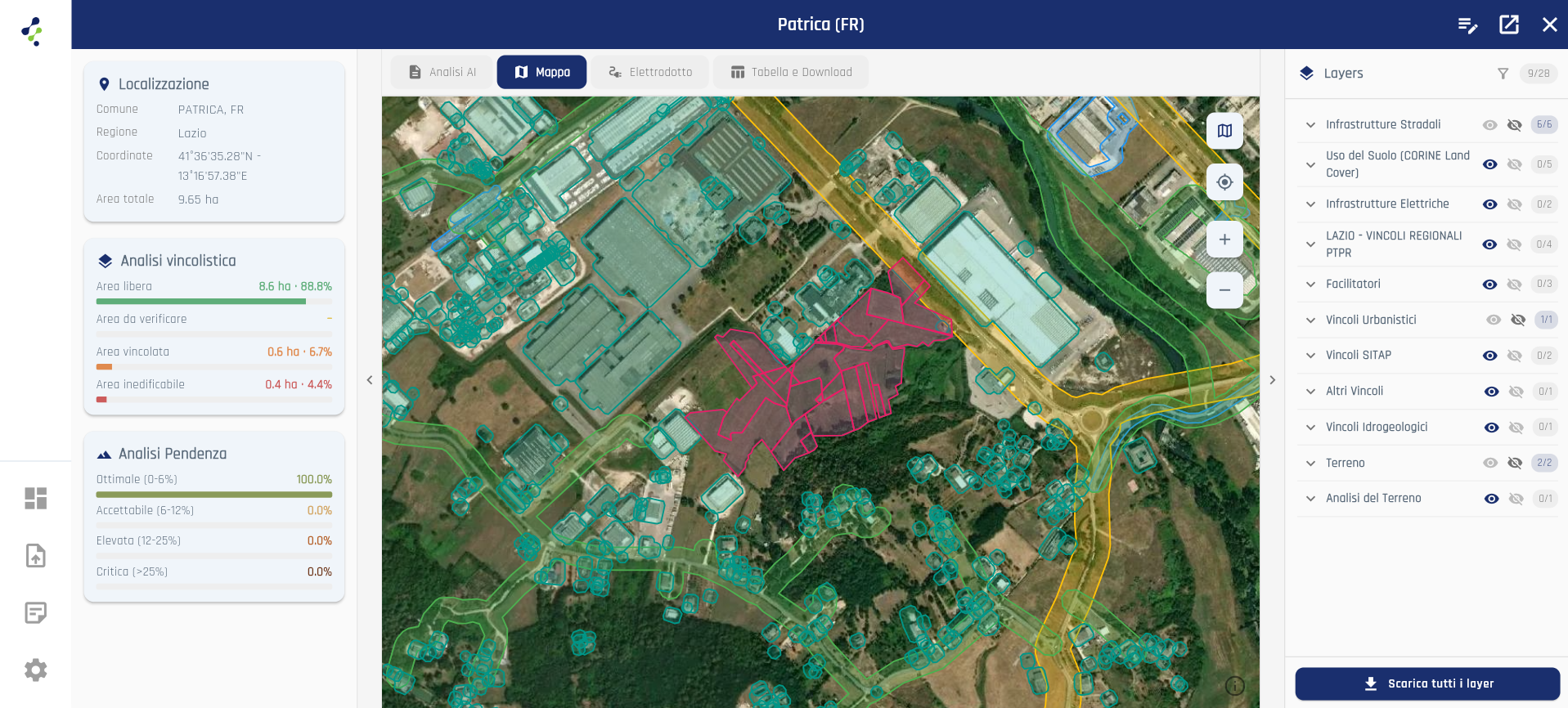
Constraint, planning and grid analysis
What has always been a long, fragmented journey across mapping portals, ever-changing regulations and power-grid checks is now within everyone's reach. In minutes you have every parameter you need to decide whether to proceed, reducing risks and failures.
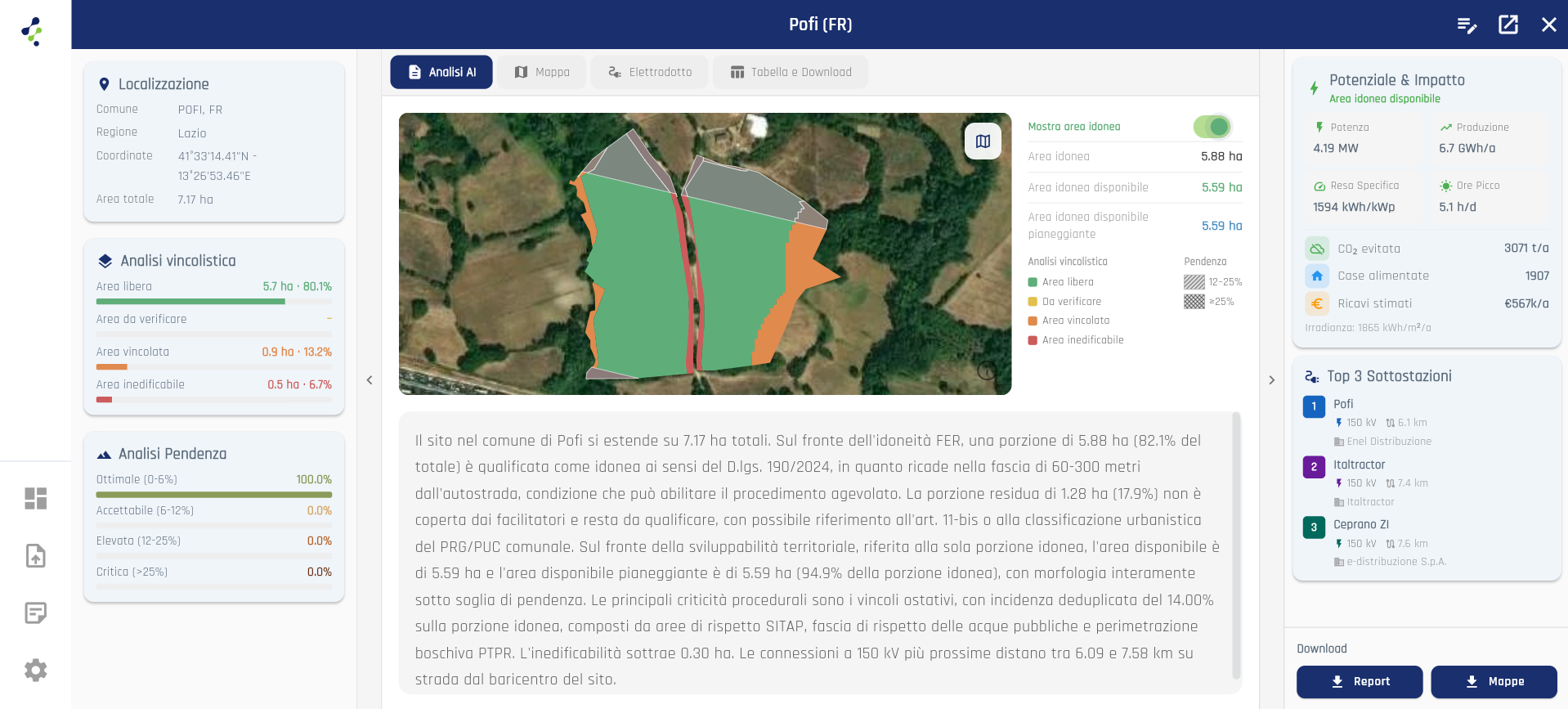
Terrain morphology and grid routing
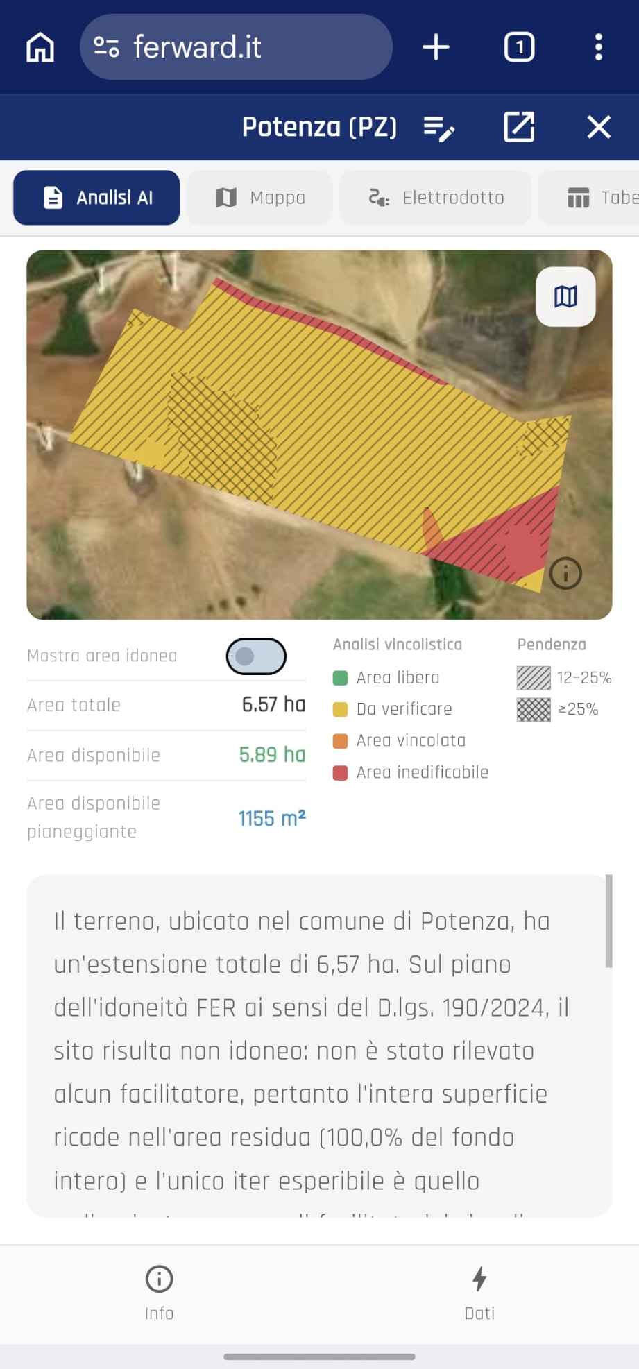
By combining AI and Machine Learning, the platform analyses terrain morphology and precisely maps the slopes of each section of the area. Environmental constraints, soil characteristics and proximity to infrastructure make geographic data truly strategic.
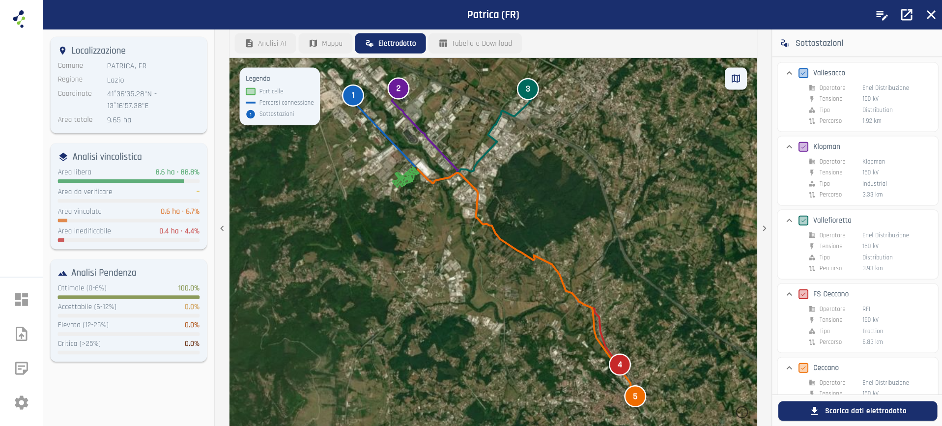
Simulate the connection to primary substations
In minutes you get a complete picture of grid-connection options. The platform overlays transmission and distribution onto your area, identifies the optimal connection points and analyses the best route within a 15 km radius in a straight line.
Add your areas however you prefer
Enter cadastral references, upload an Excel file with your data, or draw the land to analyse directly on the map. Flexible options that adapt to how your data is already organised, so you can launch the analysis in seconds.
Interactive Map
Draw polygons on the map with a few clicks. Cadastral data is automatically extracted for the selected area.
Manual Coordinates
Enter area data manually using Municipality, Sheet and cadastral Parcels, or use the coordinate method with latitude and longitude.
Excel File
Import coordinate lists or project data from Excel files. Ideal for managing pipelines with multiple sites in batch.
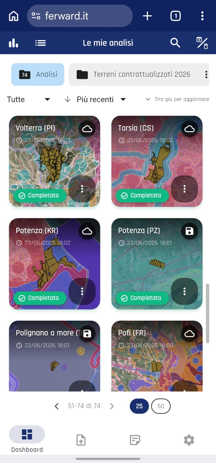
Built for phone and tablet
Take your analyses with you, wherever you are.
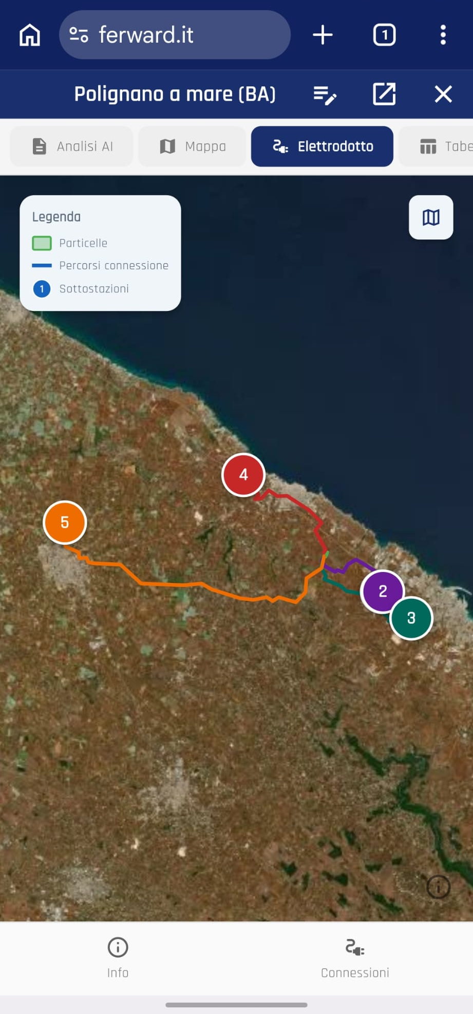
Access anywhere
Open your analysis while you're on site for an inspection.